Forget any idea of a gentle spin along the coast. Road cycling Cornwall style means short, sharp, relentless climbing — a landscape of steep-sided valleys and granite headlands that rarely lets a rider settle into a rhythm for more than a few minutes at a time. There’s no single legendary mountain pass here, no Alpine-style hairpin climb that takes forty minutes to grind up. Instead there’s climb after climb after climb, each one a few hundred metres long and stubbornly steep, strung together across a county that never quite goes flat.
For road cyclists who’ve ridden it, that’s precisely the appeal. This is a guide to the best of it: the long-distance routes that stitch the county together, the toughest individual climbs, and the quieter lanes worth seeking out over the busier coastal A-roads. For a wider view of Cornwall’s cycling scene, including the flatter, traffic-free trails that sit at the opposite end of the difficulty scale, our guide to cycling in Cornwall rounds up everything on offer.
What road cyclists get in return for the effort is a version of Cornwall that most holidaymakers never see. The county’s best views tend to sit above its towns and beaches rather than at sea level, and a bike is one of the few ways to reach them under your own power, at a pace that lets the landscape actually register rather than blurring past a car window. It’s a genuinely different way of experiencing the same county that the rest of this site covers for beaches, food and history.
The Cornish Way: the spine of the county
The Cornish Way is Cornwall’s signed long-distance cycling route, running over 200 miles of interlinking quiet lanes and traffic-free trail from Bude in the north to Land’s End in the far west, forming part of the National Cycle Network. Few visitors ride the whole thing in one trip, but it’s an excellent reference route for planning shorter days — dip into whichever section suits your base for the week, confident that the waymarking and road choice have already done the hard work of avoiding Cornwall’s busiest and least pleasant roads.
Because it’s built mostly from quiet lanes rather than a single continuous road, the Cornish Way suits most types of road bike, including those without especially wide clearance for rougher surfaces — a contrast with some of Cornwall’s off-road cycling, where a hybrid or gravel bike copes far better.
The route also passes close to a good number of Cornwall’s best-known towns and villages, which makes it easy to plan a multi-day trip with a genuinely comfortable bed at the end of each stage rather than camping the whole way. Riders taking on a longer stretch of the Cornish Way often use it as the backbone of a week-long touring holiday, picking accommodation along the route rather than basing themselves in one spot and riding out and back each day.
The North Cornwall Trail
Running 40.5 miles from Bodmin to the Devon border via Bude, the North Cornwall Trail takes in some of the quietest lanes anywhere in the county, skirting the edge of Bodmin Moor and passing through Camelford on its way north. It’s a genuinely good choice for a full day’s ride away from the coastal crowds, with enough climbing to feel like a proper achievement without straying into the genuinely brutal gradients found deeper into the moor itself.

Bodmin Moor: the proper test
If the coast is where Cornwall shows off, Bodmin Moor is where it tests you. The character up here is completely different from the rest of the county — wide, open, exposed, and rugged, with the wind doing at least as much work against a rider as the gradient. Brown Willy and Rough Tor, Cornwall’s two highest points, sit at the heart of the moor, and a full loop taking in both typically racks up somewhere around 3,500 feet of climbing over the course of a day.
The climb up to Minions, the highest village on the moor, is the longest sustained effort of any well-known local route — around 10 km of steady ascent rather than a sudden wall, which makes it more a test of pacing than raw power. For something shorter and sharper, the climb out of Trebartha is genuinely brutal in places, with its steepest section averaging around 15.4% over a short stretch within an overall climb of roughly 1.4 km and 118 metres of ascent — the kind of gradient that has riders out of the saddle and questioning their gear choice within the first hundred metres.
Bodmin Moor rewards preparation more than any other part of Cornwall’s road network. There’s little shelter from wind or rain once you’re up on the open moor, services are sparse, and a mechanical problem here means a genuinely long walk rather than a short one. Check the forecast, carry more food and water than you think you’ll need, and let someone know your planned route if you’re heading out alone.
The moor’s bleakness is also its own reward. Away from the crowds that gather around Cornwall’s beaches and coast path viewpoints in summer, Bodmin Moor offers a genuine sense of solitude that’s increasingly rare anywhere in the South West. Wild ponies graze the open ground, buzzards work the thermals overhead, and the granite tors that punctuate the skyline — Rough Tor chief among them — give the whole ride a scale and drama that has more in common with Dartmoor or the Brecon Beacons than with the postcard image of Cornwall most visitors arrive with.
The Penwith coast road: B3306
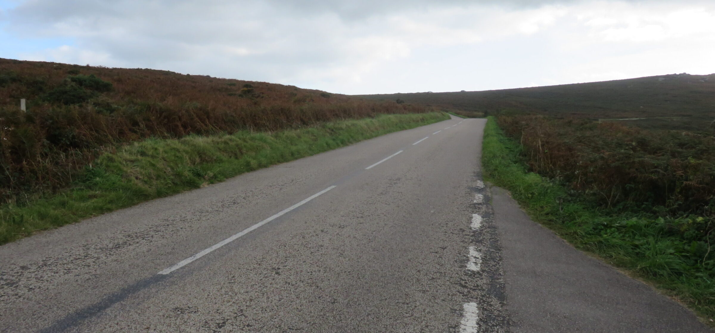
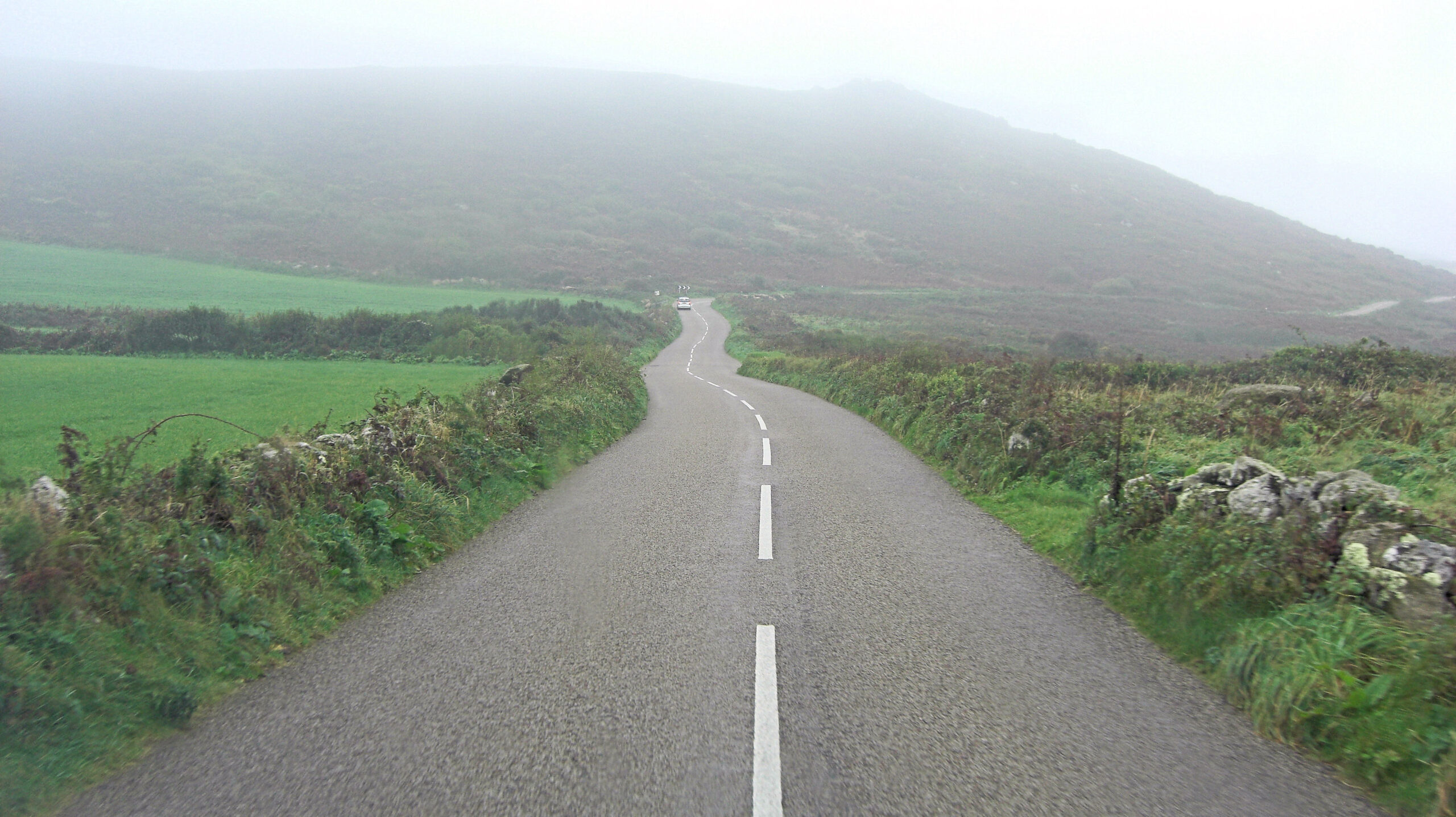
In the far west, the B3306 between St Ives and St Just crosses the wild moorland of the Penwith peninsula and is widely rated one of the most scenic coastal road rides anywhere in the UK — granite farmhouses, ancient field systems, and Atlantic views that open up without warning around every other bend. It’s narrow, exposed to the weather rolling in off the sea, and shares the road with more tourist traffic in summer than the quieter inland lanes, so it rewards an early start and a bit of caution rather than treating it as a straightforward, empty road.
Combined with the climbs around Land’s End itself, this corner of Cornwall gives road cyclists a genuinely dramatic finish to a longer tour, particularly for anyone riding the Cornish Way’s western end.
The same stretch of coast is popular with walkers tackling this section of the South West Coast Path, so expect to share some of the narrower sections of road with pedestrians as well as other traffic, particularly around the villages. It’s a reminder that this part of Cornwall works hard for its living from several different kinds of visitor at once, and a bit of patience and courtesy goes a long way regardless of which activity brought you here.
What makes Cornwall’s roads different from other UK cycling destinations
Riders used to the Alps, the Yorkshire Dales or the Scottish Highlands often find Cornwall’s climbing style genuinely different, and not always in the way they expect. There’s rarely a single long, famous ascent to aim for — instead, the county serves up short, sharp climbs back to back with almost no flat recovery in between, particularly on the network of lanes that criss-cross the interior between the two coasts. A ride that looks modest on paper, in terms of total elevation gain, can feel considerably harder than the numbers suggest simply because of how relentlessly the gradient changes.
High-hedged lanes are both a blessing and a curse: they shelter riders from the worst of the wind on exposed stretches, but they also block the views that make the effort worthwhile until you crest a rise and the hedge suddenly drops away to reveal the sea. It’s part of what makes Cornish road cycling so memorable — the landscape reveals itself in bursts rather than a continuous panorama.
Quiet lanes over busy A-roads
Cornwall’s main coastal A-roads carry heavy holiday traffic for most of the summer season, and they’re generally worth avoiding on a road bike wherever a quieter alternative exists — which, thanks to the density of the county’s lane network, is nearly always. Locals and experienced visiting cyclists tend to favour routes planned deliberately around the back lanes, even if it means a slightly longer distance, simply because the difference in traffic volume and stress is so significant. Ordnance Survey mapping or a dedicated cycling app that lets you weight a route towards quieter roads is worth the effort of setting up before a trip.
Locals also tend to know which lanes turn into unofficial passing places for farm traffic at particular times of day — tractors moving between fields at either end of the working day, milk collection lorries on a fixed schedule near dairy farms — and a friendly conversation at a hire shop or a B&B breakfast table often surfaces this kind of knowledge faster than any app. It’s worth asking, particularly if a planned route runs through genuinely rural stretches rather than sticking to the more heavily cycled corridors near the coast.
Sportives and organised rides
Cornwall hosts several organised cycling sportives across the year, drawing riders specifically for the county’s combination of scenery and genuine climbing challenge. Dates and routes change from year to year, so it’s worth checking current event calendars if a supported, closed(ish)-road ride with feed stations appeals more than planning your own route — the infrastructure and marshalling on an organised event takes some of the logistical pressure off a first visit to Cornwall’s harder roads.
Organised events also tend to route deliberately around the county’s best combinations of climbing and scenery, which can save a first-time visitor a good deal of the trial and error involved in planning a route from scratch. If a sportive’s dates happen to line up with a planned trip, it’s a genuinely good way to see the harder side of Cornwall’s cycling with support on hand if something goes wrong.
Where to base yourself
Choice of base matters more for road cycling than for most other Cornwall activities, given how much the terrain varies across the county. A base near Bodmin gives the easiest access to the moor’s climbs and the North Cornwall Trail; somewhere around Penzance or St Ives puts the Penwith peninsula and the B3306 within easy reach; and a base further east, nearer Bude, suits anyone planning to ride a significant stretch of the Cornish Way’s northern end. Our wider Cornwall holiday planning guide has more on choosing a base that suits the specific activities you want to build a trip around, cycling included.

Recovery rides
After a hard day on Bodmin Moor or the Penwith climbs, the Camel Trail makes a genuinely useful easy day — flat, traffic-free, and gentle enough on tired legs that it counts as active recovery rather than another training session. Slotting a Camel Trail day into a week of harder road riding is a pattern a lot of experienced Cornwall visitors settle into, alternating effort with genuine rest days on the bike rather than off it.
Bike hire and preparation
Road bike hire is less widely available in Cornwall than hybrid and family bike hire, since most road cyclists bring their own machine set up exactly how they like it. Our wider guide to bike hire in Cornwall covers what is available if you do need to hire, but for a serious road cycling trip, bringing your own bike and having it properly serviced before you travel is the more reliable option. Wide-range gearing is worth prioritising over an outright racing setup, given how relentlessly the terrain changes gradient.
Frequently Asked Questions
What is the hardest road cycling climb in Cornwall?
The climb out of Trebartha on Bodmin Moor is among the steepest short climbs, averaging around 15.4% at its hardest section. The ascent to Minions is longer overall, at around 10 km, and is more a test of pacing than raw steepness.
Is Cornwall a good destination for road cycling?
Yes, particularly for riders who enjoy relentless, varied climbing over one single famous ascent. The combination of quiet lanes, dramatic coastal scenery and Bodmin Moor’s exposed terrain makes it a genuinely different challenge from most other UK cycling destinations.
What is the Cornish Way?
A signed long-distance cycling route of over 200 miles connecting Bude and Land’s End via quiet lanes and traffic-free trail, part of the National Cycle Network.
Are Cornwall’s roads busy with traffic?
The main coastal A-roads get busy in summer, but the county’s dense network of inland lanes offers quiet alternatives for nearly every route, provided you plan around them rather than defaulting to the most obvious main road.
When is the best time of year for road cycling in Cornwall?
Late spring through early autumn offers the most settled weather, though Bodmin Moor and the exposed coastal roads can turn wet and windy with little warning at any time of year — always check the forecast before a longer ride.
Do I need a specific type of bike for Cornwall’s road climbs?
A standard road bike works fine, but wide-range gearing is genuinely useful given how relentlessly the gradient changes — a compact chainset or similarly forgiving setup will make the short, steep ramps far more manageable than a racing-focused gear range built for flatter terrain.
Cornwall won’t give a road cyclist one big, famous climb to conquer and photograph at the top. What it gives instead is a whole county of relentless, varied, genuinely testing terrain, best ridden with wide gears, a healthy respect for the weather, and a Camel Trail day booked in for when the legs need a rest. Riders who come for a week of climbing tend to leave already planning a return trip, if only to tick off the lanes and gradients they didn’t have time for the first time round.
Prefer knobbly tyres to skinny ones? Our guide to mountain biking in Cornwall covers the same Bodmin Moor landscape from a trail-centre and off-road perspective, at Cardinham Woods and Lanhydrock.
Riding with someone who doesn’t share your appetite for 15% lanes? Put them on an electric bike and you can ride the same loop together. Our guide to e-bike hire and routes in Cornwall has the operators, prices and honest battery-range figures for hilly roads.
Planning to ride the Cornish Way end to end, or tempted by the off-road loop of the far west? Our guide to the West Kernow Way and Cornish Way breaks both into stages, with advice on direction, logistics and where to stay.
Photo credits: The B3306 crossing Penwith moorland: B3306, St Ives to Zennor road – geograph.org.uk – 8249620.jpg by Richard Rogerson, CC BY-SA 2.0 (licence). The B3306 near Tremedda Common: B3306 north of Tremedda Common – geograph.org.uk – 3190779.jpg by Stuart Logan, CC BY-SA 2.0 (licence).