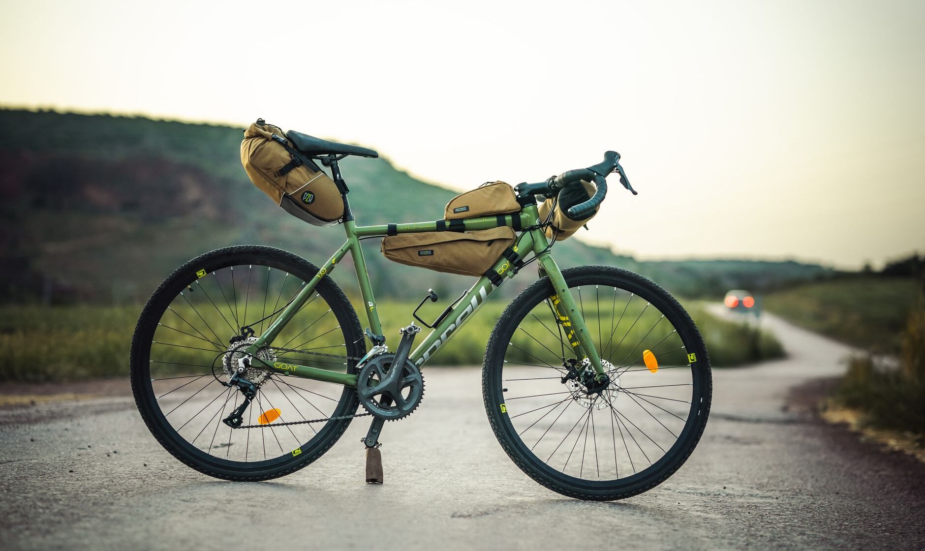
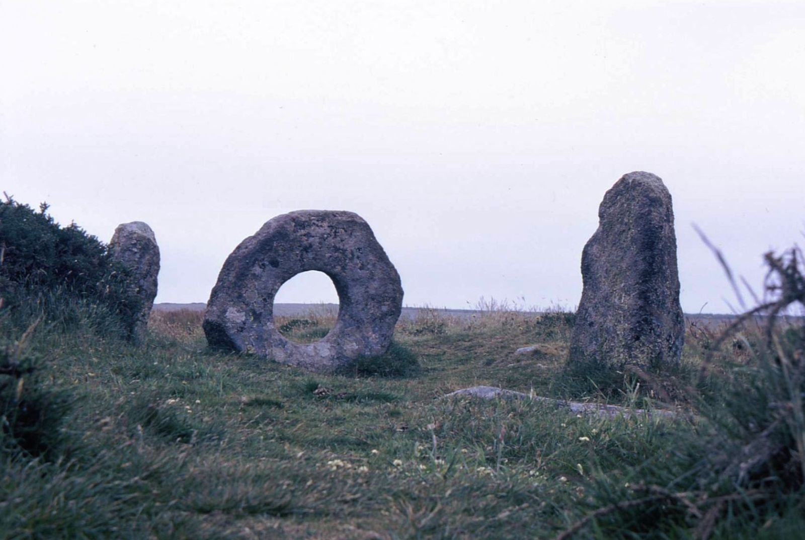
Most people who see Mên-an-Tol, the holed granite stone on the moors above Morvah, walk there along a track from a lay-by on the Madron road, crawl through the hole for luck and walk back again. Every so often, though, the quiet is broken by the rattle of a bike with bags strapped to every tube, its rider three days into a loop of the far west and caked to the knees in Penwith mud. That’s the West Kernow Way — Kernow is simply Cornish for Cornwall — and it has quietly become one of the best-loved bikepacking routes in Britain.
It’s not the only way to ride Cornwall end to end. The much older Cornish Way runs from Bude to Land’s End as part of the National Cycle Network, on lanes and trails rather than moorland tracks, and suits a touring bike, a B&B every night and a slower pace. The two routes share a county and very little else. This guide covers both: the distances, the stages, the terrain, where you can and can’t sleep, where to stock up, and how many days to allow, along with an honest steer on which one is right for you.
Two long-distance rides at a glance
| West Kernow Way | Cornish Way | |
|---|---|---|
| Type | Off-road bikepacking loop | Signed touring route, National Cycle Network |
| Distance | 230km / 143 miles | About 180 miles Bude to Land’s End; over 200 with the alternative branch |
| Climbing | More than 4,200m | Hilly throughout, mostly in short climbs |
| Surface | Bridleways, byways, old tracks and quiet lanes | Mostly quiet lanes, plus traffic-free trails |
| Best bike | Gravel bike with wide tyres, or a hardtail | Touring bike, hybrid or road bike with sensible tyres |
| Days to allow | Three to four | Five or six at a touring pace |
| Start and finish | Loop, easiest from Penzance station | Linear, Bude to Land’s End (or the reverse) |
The West Kernow Way
The West Kernow Way was put together by Cycling UK as a loop around the western half of the Cornish peninsula, and it earns its reputation by stitching together the kind of riding you’d never find on your own: bridleways, byways, forgotten tracks that had fallen out of use, and the quiet lanes in between. The official figures are 230km (143 miles) and more than 4,200 metres of climbing, designed to be ridden over three to four days. That’s nearly half the height of Everest, gained a few dozen metres at a time.
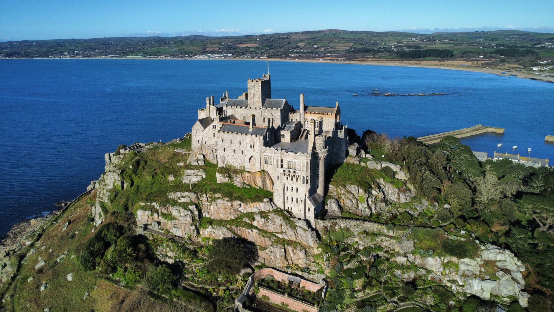
Along the way it takes in most of what makes the far west special: the engine houses of Botallack on their cliff ledges, the Bronze Age stones of the Penwith moors, Land’s End, the causeway views across to St Michael’s Mount, and Lizard Point, the southern tip of mainland Britain. Cycling UK makes the GPX file available through a form on its website, and sells a printed route guide alongside it. Treat it as a GPX route: load it onto a bike computer or phone before you set off, and don’t count on signposts to get you round.
Stages and how to split the loop
Because it’s a loop, you can start anywhere, but Penzance is the obvious choice, with the main-line station at one end of the town and the route passing close by. The most commonly quoted three-day split from Penzance runs to roughly 46, 43 and 45 miles. An alternative split that riders often use, with overnight stops at St Erth and Helston, looks broadly like this:
- Day 1: Penzance to St Erth, about 45 miles. The Penwith day — up onto the moors past Mên-an-Tol, down to the mining coast at Botallack, out to Land’s End and back east across the peninsula. The hardest scenery to ride past without stopping.
- Day 2: St Erth to Gweek or Helston, about 48 miles. East through the old mining country towards the head of the Helford River, with Hayle and Redruth both worth a short detour for food and beds.
- Day 3: Helston back to Penzance via St Michael’s Mount, about 56 miles. Out across the Lizard to its southern tip, then the long run home along Mount’s Bay with the Mount in view for much of the afternoon.
The totals don’t quite match the official 143 miles because riders detour for food and beds, and a longer day three is the price of that particular split. If three days of 45-plus miles off-road sounds like a lot, it is. Four days of about 36 miles is a far kinder way to ride it, leaves time for a proper lunch and the odd swim, and is what we’d suggest for anyone who isn’t already a regular off-road rider.
What the riding is actually like
Hard, in short bursts, and constantly beautiful. There are no long mountain climbs in Cornwall, but the West Kernow Way makes up for that in volume: a steep, rocky byway up onto the moor, a fast descent on loose granite, a sunken lane with a stream running down the middle, then round again. The riding quality varies enormously. Some stretches are smooth farm tracks; others are rutted, stony and overgrown enough that most riders end up pushing somewhere, especially with a loaded bike.
The season changes everything. From late spring to early autumn the tracks are mostly dry and fast, and the hedges are full of flowers. Through the winter, the same bridleways turn to deep mud, the moorland sections get properly bleak, and the daylight runs out mid-afternoon. In high summer the lanes around Land’s End fill with holiday traffic, and by August the bracken and gorse can crowd the narrower tracks. May, June and September are the sweet spot. May is also, on the Met Office’s long-term averages for Camborne, the driest and sunniest month of the year.

Bike and kit
A gravel bike with the widest tyres your frame will take copes with most of the route and is faster on the lanes between the off-road sections. A hardtail mountain bike is slower on tarmac but far more comfortable on the rocky byways and in mud, and it’s the safer bet if you’re unsure of your off-road skills or riding outside summer. Whatever you ride, set the tyres up tubeless if you can, and carry a spare tube, plugs and a pump anyway.
The route has also been ridden on an e-gravel bike, which says a lot about how far e-bikes have come. If you go electric, the maths is all about the battery: 45 miles and well over 1,000 metres of climbing a day is a big ask of a single charge, so plan every overnight stop around somewhere to plug in, or bring a second battery. Our guide to e-bike hire and routes in Cornwall has the realistic range figures for Cornish hills.
For bags, a frame bag, a seat pack and a handlebar roll will carry everything for a B&B-based trip; camping needs more space and a light tent. Beyond that: lights front and back (sunken lanes are dark even at midday), a proper waterproof, enough water capacity for the moor sections, and a paper map or offline map on your phone, because signal comes and goes in the far west.
Where to sleep: camping, B&Bs and the wild camping question
Here’s the part that trips up bikepackers used to Scotland: wild camping is not legal in Cornwall, as in most of England, without the landowner’s permission. There’s no right to pitch a tent on the moors or behind a hedge, and a bivvy in a field is still trespass. Plan your nights around campsites and indoor beds.
The good news is there are campsites close to the loop, including some of the most spectacular in the county. Treen Farm sits above Pedn Vounder near Porthcurno, with views from the Lizard towards Scilly; Trevedra Farm is on the Atlantic side near Sennen, with access to the beach and the coast path; and Henry’s Campsite on the Lizard looks out over open sea. Our Cornwall camping and glamping guide covers more sites and when to book. For indoor beds, Penzance and St Just cover the western end, and Hayle, Helston and Redruth have the widest choice of places to eat and sleep in the middle of the loop, all worth a detour from the line.
Book ahead from late May to September, and ask when you book whether there’s somewhere secure to lock the bikes overnight. Most B&B owners in west Cornwall are used to walkers, and many are just as happy to find a shed for a muddy bike, but it’s better to ask than to arrive and find the only option is the front garden.
Food, water and resupply
You’re never far from a shop on the West Kernow Way, but you are often further than you’d like. Stock up properly in the towns — Penzance, St Just, Hayle, Helston — and treat village shops and cafés as a bonus rather than a plan, because outside the school holidays many of them close by late afternoon and some don’t open at all on quieter days. A pasty is the traditional fuel, and for good reason: it’s calorie-dense, it survives a frame bag, and every town on the loop sells a decent one.
Water is the bigger issue on the moor sections of day one and on the Lizard, where there’s little between villages. Carry at least two full bottles, fill up at every café you stop at, and don’t rely on finding a tap.
Getting to the start
Penzance is the end of the main line from London Paddington, which makes this one of the easiest long-distance rides in Britain to reach without a car. GWR carries bikes free, but spaces on its long-distance trains are limited and must be reserved, so book yours as early as you book your ticket, especially for summer weekends. St Erth, on the same line and the junction for the St Ives branch, makes a good alternative start if you’d rather begin in the middle of the loop.
The Cornish Way
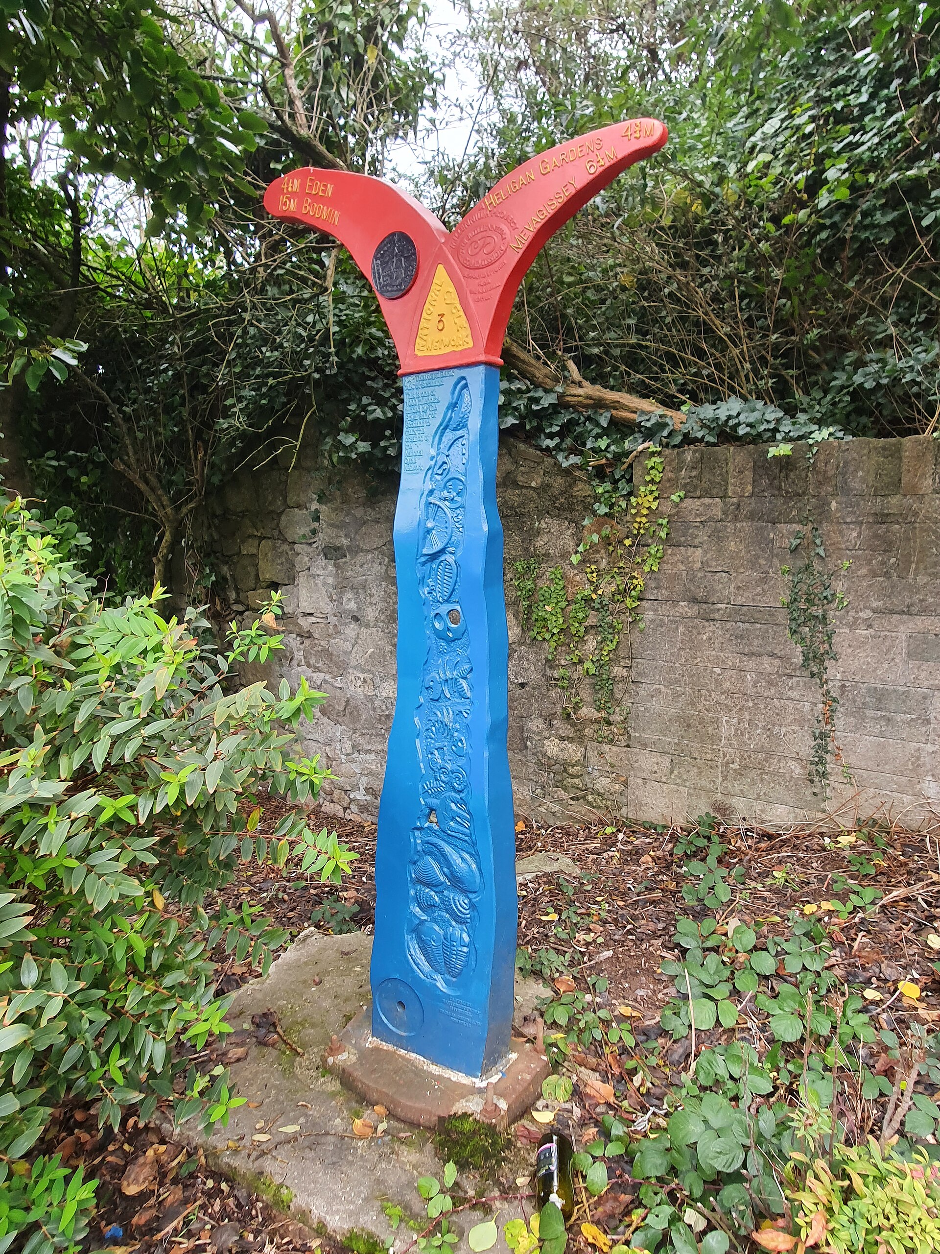
The Cornish Way is a very different animal: a signed, linear touring route from Bude on the north coast to Land’s End, built as part of the National Cycle Network and made mostly of quiet lanes, with traffic-free trails where they’re available. Its main line runs about 180 miles via St Austell as National Cycle Route 3, with an alternative branch between Bodmin and Truro via Padstow, Newquay and St Columb Major on Route 32. Depending on whether a source counts that branch, you’ll see the total quoted anywhere from 180 to more than 200 miles.
Where the West Kernow Way is about the ride itself, the Cornish Way is about the journey across a whole county: north coast surf towns, the moor, the clay country, the cathedral city, the mining towns and the far west, a B&B at the end of every day and a proper dinner in a pub. You can ride it on a touring bike with panniers, a sturdy hybrid, or a road bike with tyres wide enough for the trail sections. Our guide to road cycling in Cornwall has more on the lanes and climbs it uses.
The sections
The route is divided into named sections, and it’s worth knowing them because local signs and leaflets use the names rather than the route numbers:
- The First and Last Trail, Land’s End to Hayle, through the far west and round Mount’s Bay.
- The Engine House Trail, Hayle to Truro, using part of the Mineral Tramways network through the old mining country. Our guide to the Coast to Coast Trail and Mineral Tramways covers the wider trail network here.
- The Coast and Clay Trail, Truro to Bodmin via St Austell, past Mevagissey, the Lost Gardens of Heligan and the Eden Project, and through the pale spoil heaps of the clay country.
- The North Cornwall Trail, the final 40-odd miles from Bodmin to the Devon border via Camelford and Bude, on quiet lanes along the edge of Bodmin Moor.
The Route 32 branch via Padstow uses the Camel Trail, the flattest and easiest miles of the whole thing, before heading down the coast through Newquay. If you’ve never ridden it, the branch is worth taking for that alone; our full guide to the Camel Trail covers it section by section.
How many days, and which direction?
At a touring pace of 30 to 40 miles a day, most riders take five or six days, which leaves time for the things the route passes — Heligan, Eden, a morning in Truro, an afternoon on a beach. Strong riders travelling light can do it in three, but on Cornish lanes that means long, hilly days with little time to stop.
Direction is a genuine dilemma. Cornwall’s prevailing wind blows from the south-west, so riding from Land’s End to Bude usually puts it at your back. But Bude has had no railway since the 1960s, and finishing there means arranging a lift, or riding on over the border into Devon to find a station. Riding the other way, from Bude to Land’s End, you finish ten miles from Penzance station and a train home, at the cost of riding into the wind more often than not. Most people decide on the logistics and live with the weather.
The honest verdict on the Cornish Way
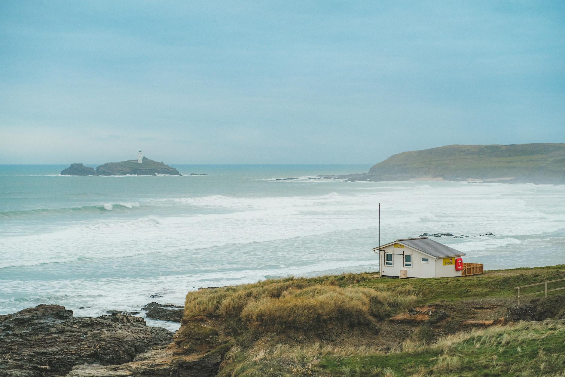
It’s a route of two halves. The best of it — the Camel Trail, the clay country, the lanes above the Fal, the moor edge towards Camelford — is as good as any touring in southern England. But it was stitched together from what was available, and in places that means patchy signage, busier roads than you’d choose, and link sections that feel as if they’re there because something had to be. Carry the GPX as well as following the signs, and don’t be afraid to take a better parallel lane where you find one. Treat it as a framework for a week’s tour rather than a line you must follow to the metre, and it’s a wonderful way to see the county.
Which one should you ride?
- Ride the West Kernow Way if you’ve got off-road experience, want adventure more than comfort, and have three or four days. It’s a loop from a main-line station, so the logistics couldn’t be simpler, and it’s the better story to tell afterwards.
- Ride the Cornish Way if you’d rather tour than bikepack: panniers, a road or touring bike, a different town every night and the satisfaction of crossing the whole county. It suits mixed-ability groups and anyone who prefers tarmac.
- On an e-bike, the Cornish Way is the easier fit, because there’s a charging point at every B&B and the daily distances are shorter.
- Short of time? Ride a section. The First and Last Trail and the Penwith day of the West Kernow Way both make brilliant single days out of Penzance.
Either way, you’ll need a bike. If you’re not bringing your own, several operators hire by the week, and our guide to bike hire in Cornwall lists them by area. For everything else on two wheels in the county, start with our complete guide to cycling in Cornwall.
Frequently Asked Questions
How long is the West Kernow Way?
The official distance is 230km, or 143 miles, as a loop around the western half of Cornwall, with more than 4,200 metres of climbing. With detours for food and accommodation, most riders’ totals end up a few miles longer.
How many days does the West Kernow Way take?
Cycling UK designed it to be ridden over three to four days. Three days means around 45 miles a day off-road, which is hard going with a loaded bike; four days of about 36 miles is more enjoyable for most riders.
Where does the West Kernow Way start?
It’s a loop, so it has no fixed start, but Penzance is the natural starting point because the main-line station is right there. St Erth, on the same line, works well too.
Can you wild camp on the West Kernow Way?
Not legally. Wild camping isn’t permitted in Cornwall without the landowner’s permission, so plan your nights around campsites, B&Bs and other accommodation near the route, and book ahead in summer.
What bike do you need for the West Kernow Way?
A gravel bike with wide tyres handles most of it and is quicker on the lanes; a hardtail mountain bike is more comfortable on the rocky byways and in mud. Set up tubeless if you can, and use frame, seat and handlebar bags rather than panniers, which don’t cope well with rough tracks.
How long is the Cornish Way cycle route?
About 180 miles from Bude to Land’s End on the main line via St Austell. Including the alternative branch via Padstow and Newquay, the network adds up to more than 200 miles.
Is the Cornish Way signposted?
Yes, as National Cycle Routes 3 and 32, and with named sections such as the First and Last Trail and the Coast and Clay Trail. Signage is patchy in places, though, so carry a GPX file or map as well.
Can you do the West Kernow Way on an e-bike?
Yes — it has been ridden on an e-gravel bike. The limiting factor is battery range on long, hilly off-road days, so plan overnight stops where you can charge, or carry a spare battery.
Whichever route you choose, you’ll finish with a different picture of Cornwall from the one most visitors take home: not just the beaches and harbours, but the moors, the mine country, the lanes between them and the long miles that tie the whole county together.
Photo credits: Mên-an-Tol: Men-An-Tol – geograph.org.uk – 3322169.jpg by Russel Wills, CC BY-SA 2.0 (licence). Route 3 milepost, St Austell: National Cycle Network Route 3 milepost, East Hill, St Austell, Cornwall – November 2022.jpg by Mutney, CC BY-SA 4.0 (licence).